These are just a few shots from Moday morning’s walk on the northern end of the trail above the lake. We were going to do this in the morning before traveling back to Milan in the afternoon to meet some friends and go to the opera. It seemed like a good way to divide the day between the two extremes of hiking and culture.
This was the most remote walk that we have done along the lake . The path winds up above a very shear rock outcrop rising out of the water. The area is clearly a rock climbing destination, based on the presence of clips attached to the rock face at various points to aid in ascents up the walls. We had the trail to ourselves this morning and there was little evidence that it gets much use.

This little guy was moving slowly across the steps leading up to a church.

Nobody was home and the doors were locked.

There was a small grated opening on the left side that did allow a peak at the interior along with a bid for donations for the restoration of the church.

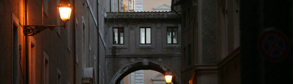
Why there is a ‘street address’ way the heck up here on this path is beyond me.

It was a little damp due to the recent rains but surprisingly good footing. You did have to watch for the occasional thorny hanging vine and errant spider web.

.

We are a long way above the water. The path goes above that rock face and we are looking back in the direction from which we came. The view to the south over the lake was well worth the effort.

Beyond the wonderful scenery there is also some great geology to view from up here. The extension of the shoreline toward the upper left of the photo is the result of a delta that was deposited. Erosion removed some of the mountain along the ridge on the right hand side of the photo and rivers transported that material to the lake shore. The town is built on the delta since the land is flatter, easier to build on, and crops can be grown in small gardens that do not need to be terraced as dramatically as on the mountain slopes. OK. Geology class is over.

This is a Google Earth image related to the above photo. That photo was taken from the yellow “Location” pushpin and looking down the coast to the “Delta” pushpin where the town of Menaggio is built. Now class is over. I promise.
wonderful photos and scenery.Mom and I traveled to lake Como and Milan yesterday without leaving the couch thanks to Rudy maxa. We looked for you but must hae missed the hiking trail. Luv, Dad
It looks like you guys did quite a bit of vertical hiking. What a beautiful trail to do it on too. And, I don’t mind the geology lesson. It certainly gives me another perspective besides “wow, how pretty!” Enjoy!
It was only a matter of time before you broke out the geology lessons. I was convinced that it was coming with that picture of the “gelato marble” lol
Hey you have to admit that it is pretty cool. The only short fall of the class is it didn’t have any wine with it!!